|
If you're familiar with the Outer Banks, North Carolina, or anything aviation-history related, you are probably aware of Jockey's Ridge (read my post about this amazing North Carolina State Park here). However, despite having vacationed in the Outer Banks for decades, we had never visited, much less even heard of this slightly smaller, but equally amazing natural area composed of just over 120 acres of sand dunes. Established in 1995, Run Hill State Natural Area exists just a few miles up the road from Jockey's Ridge to the north, and just south of the Wright Brothers National Memorial, which can actually be seen from the dunes on a clear day. With no visitor center, no designated parking lot, and no identifying information other than a somewhat obscured sign, Run Hill is certainly considered off the beaten path, which makes it so worth a visit. While we visited during the off season, you can bet that even during the busiest of summer months, you won't encounter many other people here. 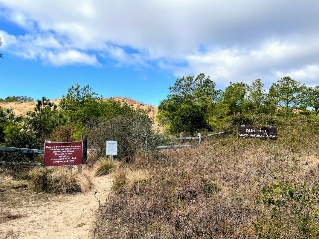 After parking and setting foot on the trail, you will be immediately greeted by a steep slope. It's short, but lots of loose sand can make getting up this little hill quite difficult. Once at the top, you will be able to spot the Wright Brothers Memorial. With no officially marked trails, you are free to wonder the area as desired. Along the way, you will encounter open spaces of sand dunes, deciduous trees, patches of ground cover and even some freshwater ponds. Keep an eye out for wildlife, including many bird species, turtles, snakes, raccoons, foxes, and more. Nags Head Woods Ecological Preserve is adjacent to the area, and stretches all the way to Jockey's Ridge, providing a continuous tract of natural land for plant and animal species in the area. With close to 2 million visitors a year at Jockey's Ridge, I guarantee you'll want to check out this spot that remains a secret amongst the locals. 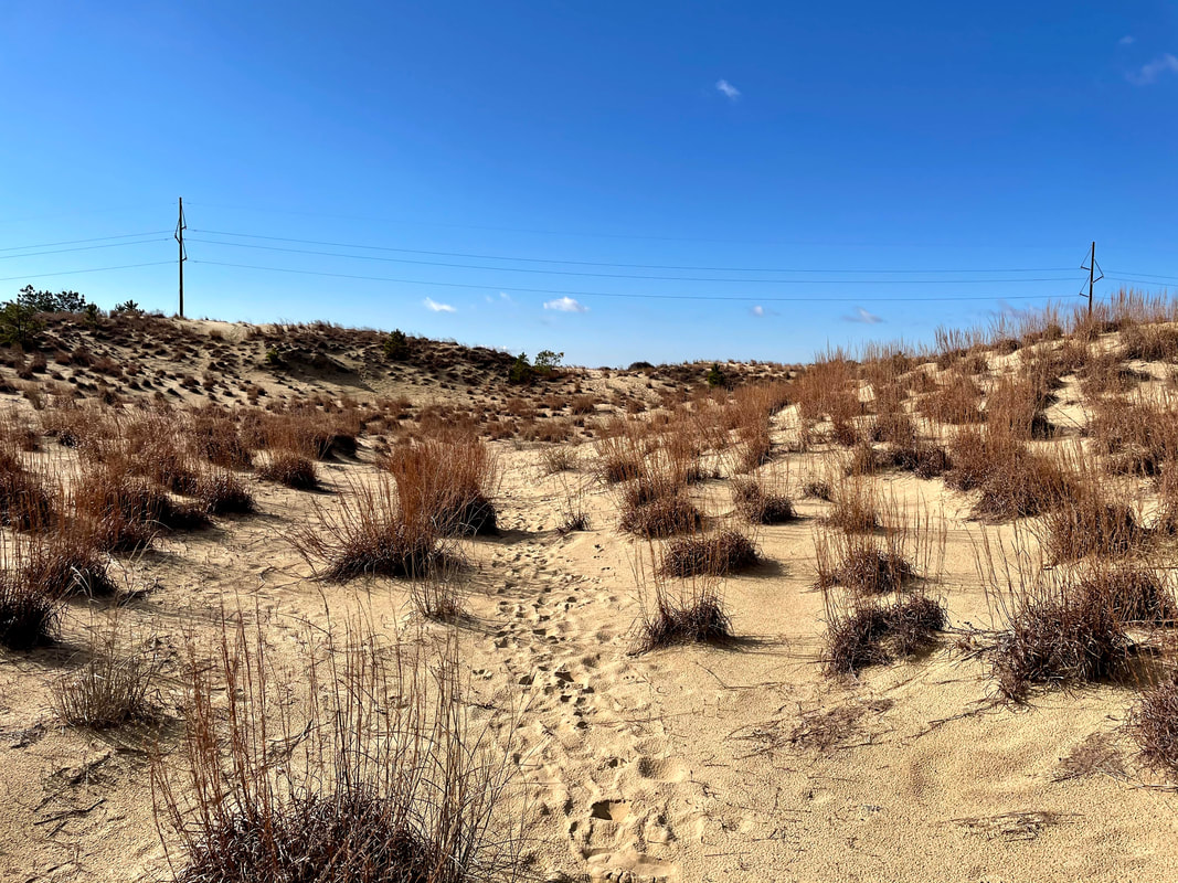 How to Get There: Located just behind First Flight Middle School, the area can be access by parking at the school and hiking towards the dunes. However, the easiest way to get there is to turn onto Landing Street from S. Croatan Highway. If you're coming from the south, turn left, and turn right if coming from the north. Drive to the end of Landing Street and turn right onto 10th Ave. At the end of the road is a small shoulder where you can park, across from the sign. Pro Tip: Because there are no designated paths or trail markers, it could be easy to get disoriented while you are exploring. Make a note of certain landmarks, such as the Wright Brothers Memorial or the large electrical lines that cross the middle of the dunes. The Memorial is located to the north and the lines run north to south. 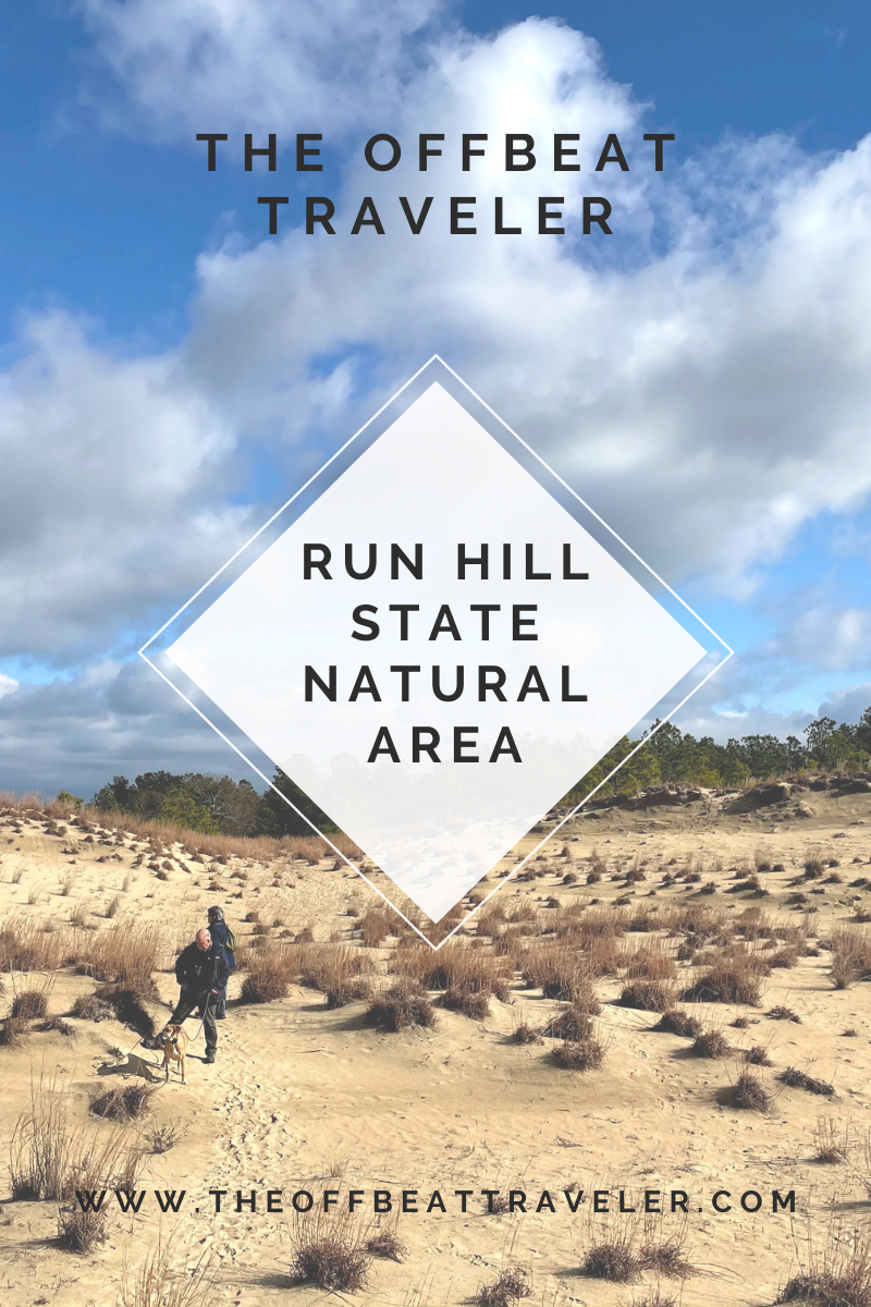
1 Comment
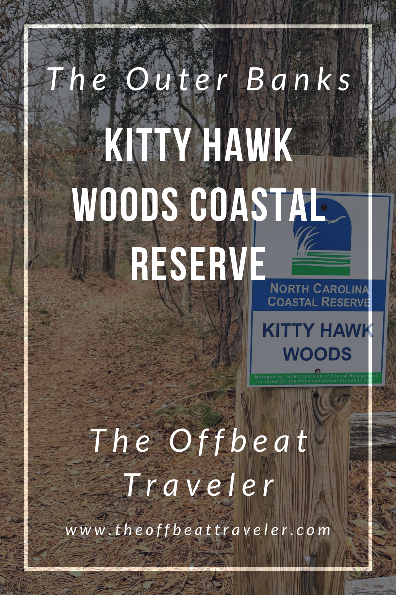 The Kitty Hawk Woods North Carolina Coastal Reserve, located in the town of Kitty Hawk in the Outer Banks, comprises over 1,800 acres of wooded area surrounded by the waters of the Currituck Sound to the west and the Kitty Hawk Bay to the south. As I mentioned in my last post about Jockey's Ridge, my family has been vacationing in the Outer Banks for decades. This is the first time we've visited the Coastal Reserve, and to be honest, we were (pleasantly) surprised at this find. Being from Virginia, we are well experienced with trails in the woods, and were shocked that there was such a large, heavily wooded area in the region. 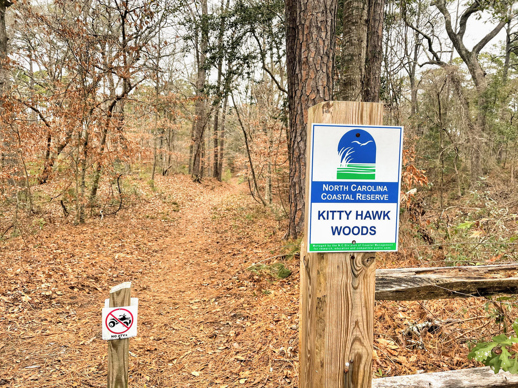 With hiking, biking, and even horse back riding trails, the woods offers activities for many outdoor enthusiasts. The trails are easy and would be perfect for families with small children, however it would be difficult for those with mobility issues due to muddy or flooded patches and thick ground cover. It's also important to note that there are private properties scattered throughout the area, as well as designated bow and gun hunting regions. I highly encourage a visit to the reserve. We decided to go on a cloudy, windy day and it turned out to be the perfect activity for the day as we were heavily shielded from the wind. I recommend downloading a copy of the reserve map to carry with you- while the trails are marked, there are some cross overs, as well as areas on paved road. Keep an eye out for the covered bridge- another happily received surprise that we never expected to find in the Banks. 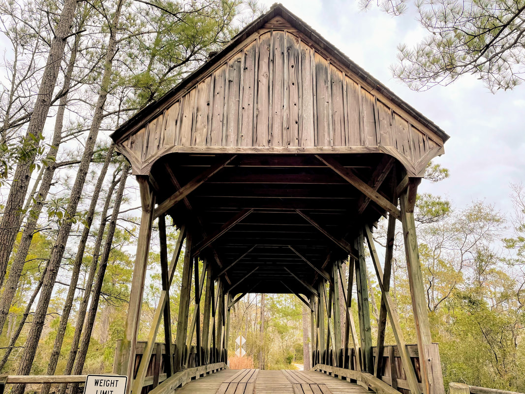 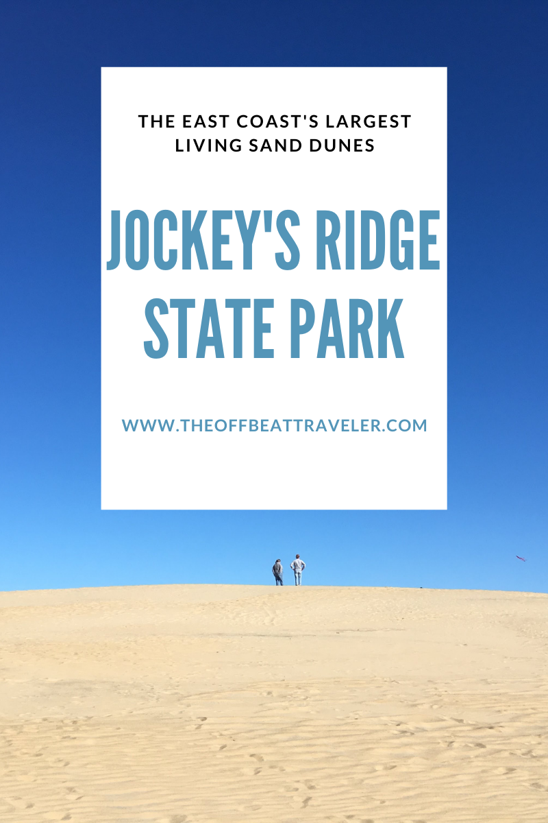 My family has been traveling to the Outer Banks for decades. After so many years of visiting the same place, we have developed a list of favorites and must-dos for each trip. While that list may vary from year to year, one thing remains the same: visit Jockey's Ridge. Jockey's Ridge State Park, located on the Outer Banks of North Carolina's eastern shores, is the tallest living sand dune on the United States East Coast and a popular spot for locals and visitors, families and adults. The perfect place to fly a kite or watch the sunset, the fun that comes with a visit to the dunes easily invokes a sense of childhood simplicity, reminding you of how easy it is to have fun, no equipment needed.  My brother, circa 2002, dancing in the Jockey's Ridge Parking Lot While some may see the park as a glorified sand box, and it can certainly feel that way, Jockey's Ridge has played a major part in the history of the Banks and forms a part of a complex living ecosystem. Believed to have formed between 3,000 and 4,000 years ago, the dunes are constantly shifting as winds blow in different directions, resulting in an ever-changing silhouette. Lined with sea grasses and small shrubs, the sand does support some plant life. You'll find thicker pockets of live oaks, wax myrtles, and red cedars near the parking area. Small mammals can also be found within the park boundaries, including rabbits, foxes, raccoons, oppossums, and dozens of bird species. Check out the Visitor Center museum to learn more about the history and ecology of the area. Visitors can also participate in hang-gliding lessons on the dunes.  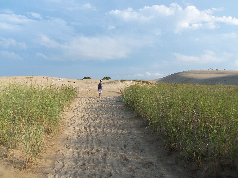 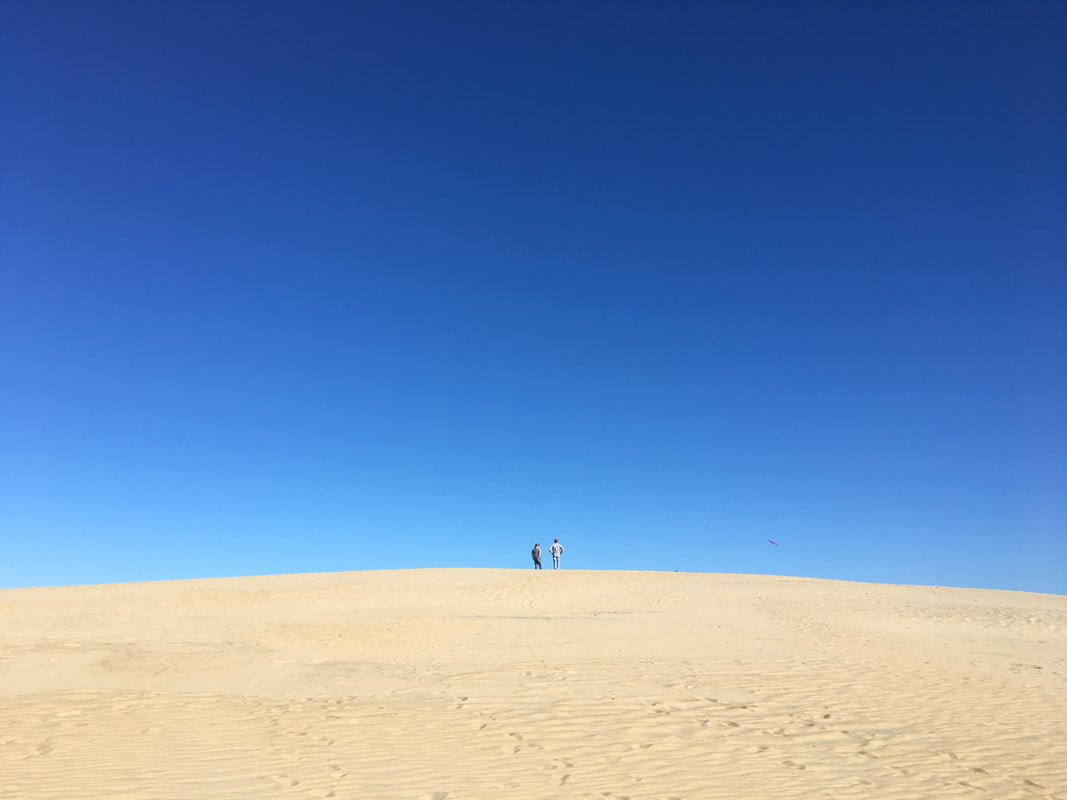 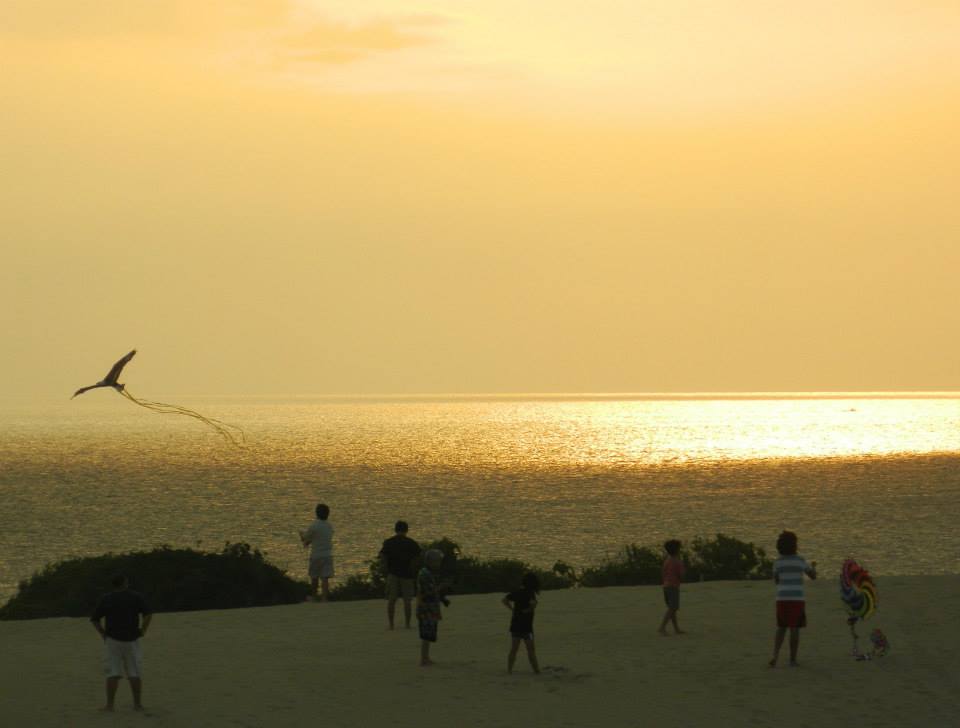 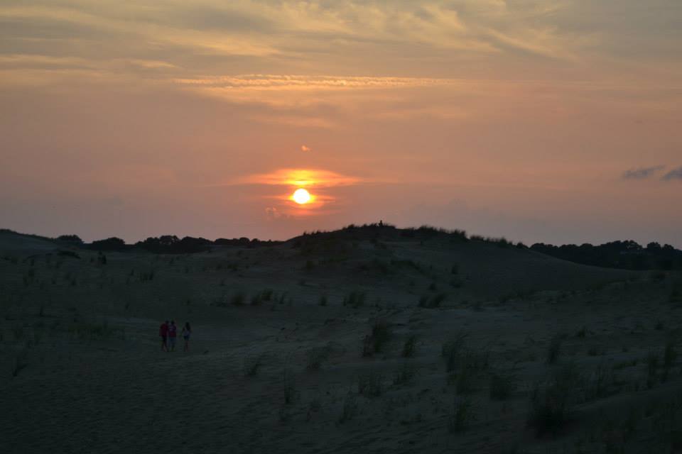 Need to know: Entry fee: None
Visitor Center 300 W. Carolista Drive Nags Head, NC 27959
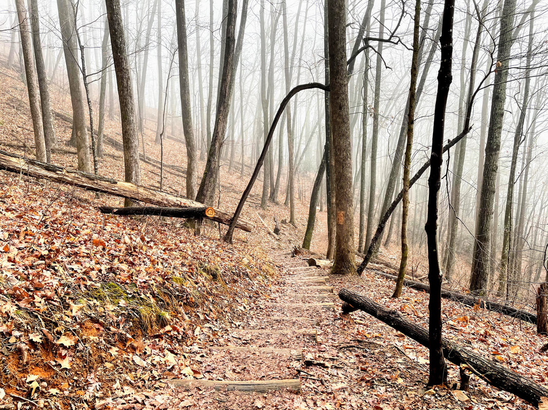
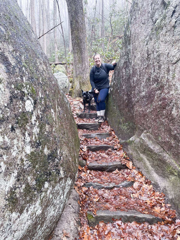
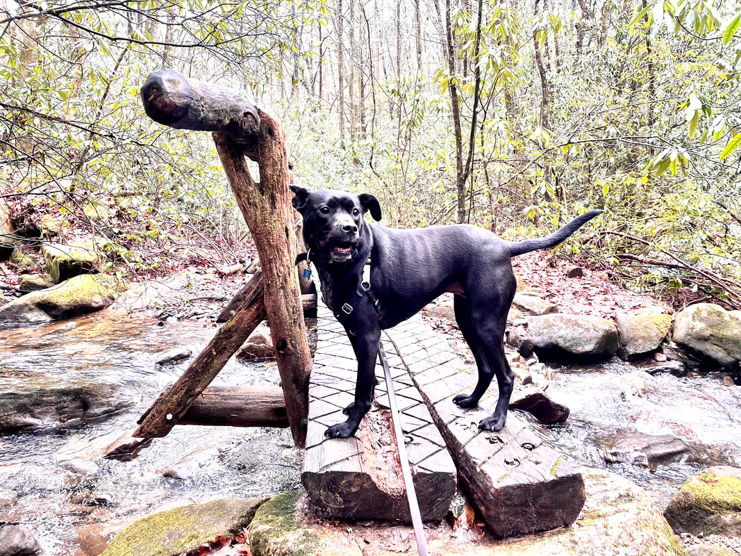
Visitors with mobility restrictions can call 24 hours in advanced to reserve a ride to the top of the dunes-- 1-877-722-6762 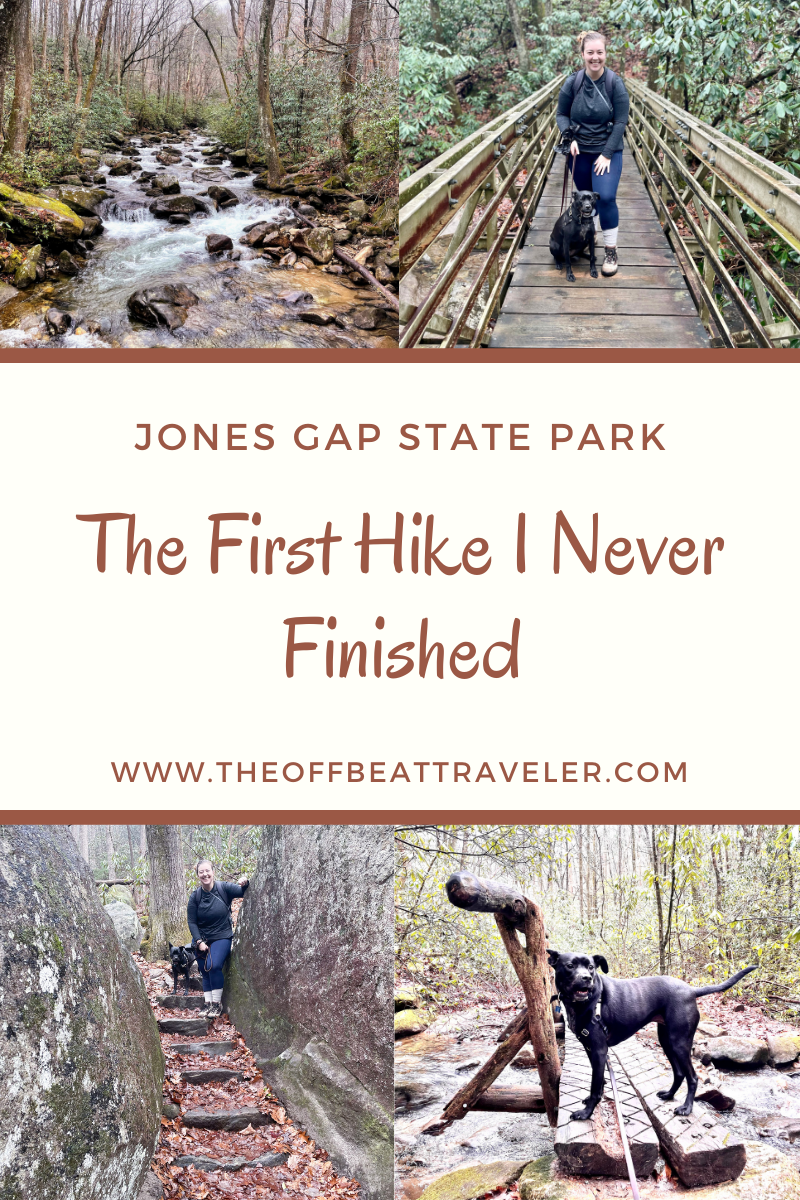 I've never not finished a hike before. Even the hardest, most uphill hikes. And I mean hardest; like the 17,000 foot Rainbow Mountain hike in Peru with limited oxygen and the requirement to bring an emergency horse cash fund in case you need to borrow a horse to get to the top. I didn't need a horse- I made it on my own two feet. That's why this felt especially insulting to me. A moderately-rated trail 4.3 mile trail with 1,200 feet in elevation gain and plenty of oxygen and I couldn't make it to the gem at the end- a 100 foot waterfall and the biggest attraction in the park. But, I had to remind myself during the 1.5 mile uphill trek at the end of the trail, that I had Covid-19 less than 3 months ago. While I didn't have a severe case and recovered pretty completely, it was a setback in my health that I have to acknowledge. While it did affect my breathing capacity, it also took me out of my usual physical activities for some time, meaning I can't necessarily do the things I had been able to do just a few months ago. It was frustrating and embarrassing, as I was hiking with a friend. I kept pushing myself beyond my limit and I should have stopped sooner than I did. After wrestling with my mind and making the hard call to turn back, I had to convince myself that it was okay. It was. I can always come back and finish it later, and I will. One thing 2020 taught me was that it is vital to be kind to ourselves and to our bodies. Make a bucket list, set goals, establish priorities, but don't allow yourself to become so caught up with crossing things off that list that you hurt yourself in the process. 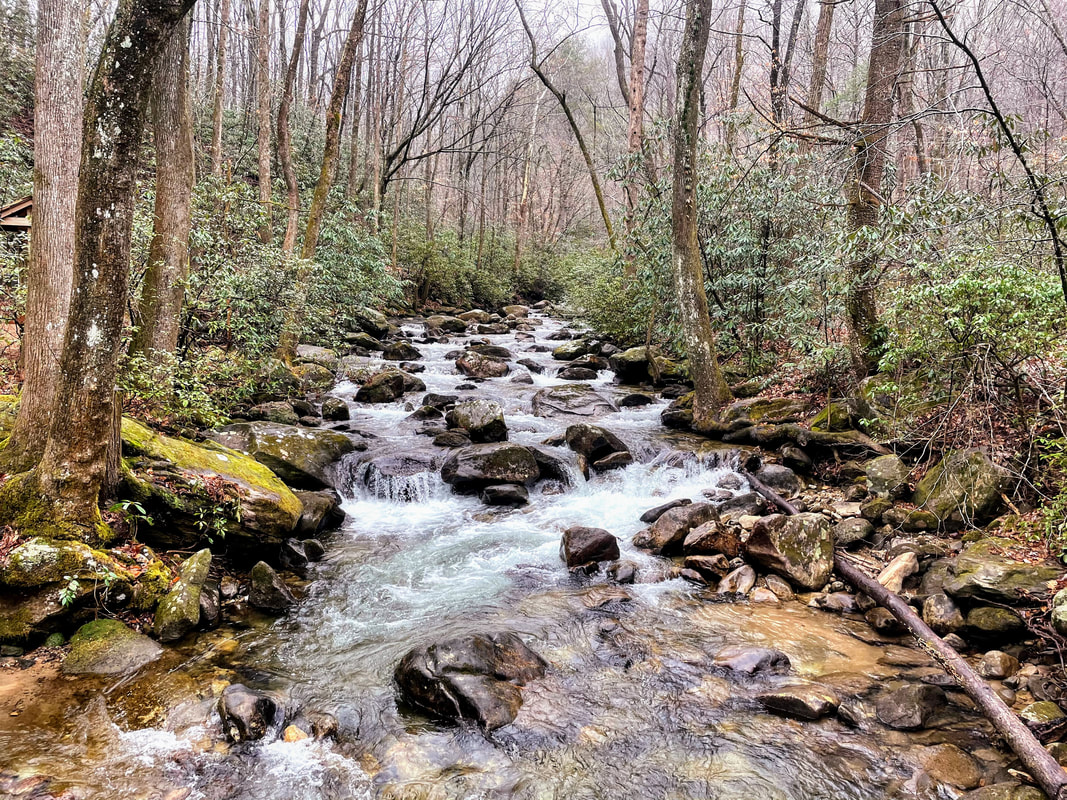 Park Overview: Jones Gap State Park, located just a little over two hours from Charlotte, has been my favorite South Carolina State Park visit so far. Overflowing with rhododendron bushes lining the trails and a gushing river snaking through the woods, Jones Gap is stunningly beautiful and it is easy to see that natural beauty no matter what season it is. Located close to Caesar's Head State Park, the two parks share some common ground, forming the Mountain Bridge Wilderness Area. The trails allow hikers to travel between the two parks, as well as connecting to the Foothills and Palmetto trails. The Middle Saluda River is the state's first designated scenic river, and it's not hard to see why. You can even reserve a riverside campsite, taking in the calming water sounds all night long. After seeing the article on Only In Your State, we decided to hike to the hidden waterfall, Rainbow Falls, a moderately rated trail 2.5 miles one way. Littered with bridges and rocky water crossings, this trail will keep you on your toes. The last 1.6 miles is uphill, with steps and rocks to climb up. The average hiker will take 4-6 hours to complete. Need to Know: Admission: $6 adults; $3.75 SC seniors (age 65 & older); $3.50 children ages 6-15; ages 5 and under, free. Hours: M-Su 9 a.m. - 9 p.m., daily, during daylight savings time and 9 a.m. - 6 p.m., daily, the remainder of the year. Trails close one hour before dark, year round. Camping: Yes 2 Scenic Waterfalls 60+ miles of hiking trails |

AuthorI like hidden gems, hole-in-the-walls, and offbeat destinations Archives
April 2021
Categories
All
|
 RSS Feed